Classifications
polyconic
Graticule
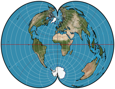
Meridians: Central meridian is a straight line. All other meridians are complex curves, spaced equally along the equator and along each parallel and concave toward the central meridian.
Parallels: Equator is a straight line, poles are points, and all other parallels are nonconcentric circular arcs spaced at true distances along the central meridian. Each parallel has a curvature identical to its curvature on a cone tangent at that latitude. Many cones are involved; hence, the name “Polyconic projection.”.
Symmetry: About the central meridian and the equator.
Aspects
Transverse aspect was proposed by Charles H. Deetz of the U.S. Coast and Geodetic Survey in the early 20th century. The National Geographic Society has used the transverse aspect for maps of Eurasia and the Soviet Union.
Scale
True along the central meridian and along each parallel.
Distortion
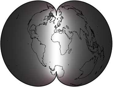
Free of distortion only along the central meridian. Extensive distortion if the range extends very far east or west.
Usage
The sole projection used for large-scale mapping in the ellipsoidal form (topographic quadrangles) of the United States by the U.S. Geological Survey until the 1950's.
Basis for Progressive Military Grid used by the U.S. Army until the 1940's.
Projection for many early coastal charts by the U.S. Coast and Geodetic Survey.
Not recommended for regional maps, because other projections are better.
Origin Apparently originated about 1820 by Ferdinand Rudolph Hassler (1770-1843), first director of the Survey of the Coast (later the U.S. Coast and Geodetic Survey).
Similar projections
Rectangular Polyconic projection has identical parallels of latitude, but meridians are plotted to intersect parallels at right angles.
The modified Polyconic projection for the International Map of the World series has two meridians that are true to scale.
An “equidistant Polyconic” projection was used by the U.S. Coast and Geodetic Survey for coastal charts in the 19th century. Its construction is unclear, but it was apparently different from other polyconics.
Equal-area polyconic projections were presented by Hans Maurer in 1935 in Germany and by Albert H. Bumstead of the National Geographic Society in 1937.
Other modified Polyconics have been presented by G.T. McCaw in England in 1921, by G.A. Ginzburg and T.D. Salmanova in the Soviet Union in 1949 and 1951, and by G.E. Bousfield in Canada in 1950. “Polyconic” is sometimes applied to all projections having circular arcs for parallels of latitude, including regular conics and the Stereographic, but this usage is not common.
Description adapted from J.P. Snyder and P.M. Voxland, An Album of Map Projections, U.S. Geological Survey Professional Paper 1453. United States Government Printing Office: 1989.
 Cylindric
 Pseudocylindric
 Conic
Conic Azimuthal
 Lenticular
 Miscellaneous

