Goldberg, Gott, Vanderbei and Edney

General discussion of map projections.
PeteD
Posts: 251
Joined: Mon Mar 08, 2021 9:59 am

Re: Goldberg, Gott, Vanderbei and Edney

Post by PeteD »

daan wrote: Sat Apr 24, 2021 8:41 pm Welcome to the forums, PeteD, and thanks for the insightful contribution.
Thank you, and thanks for your responses to my comments.
I think the objection is about jumbling up distortion metrics that are not independent of each other.
I'm not convinced that's what Matthew Edney means in his objection number 1. While he mentions the importance of metrics being independent of each other in his objection number 5 regarding flexion and skewness, he makes no mention of this in his objection number 1 regarding distance error.

Goldberg and Gott kindly made their IDL code freely available to download when they published their 2007 paper, and I've been playing around with it for some time now. I can report that distance error, at least the way Goldberg and Gott define it, appears to be no more strongly correlated with angular deformation and areal distortion than flexion and skewness are.

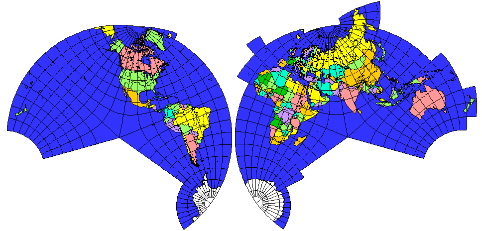
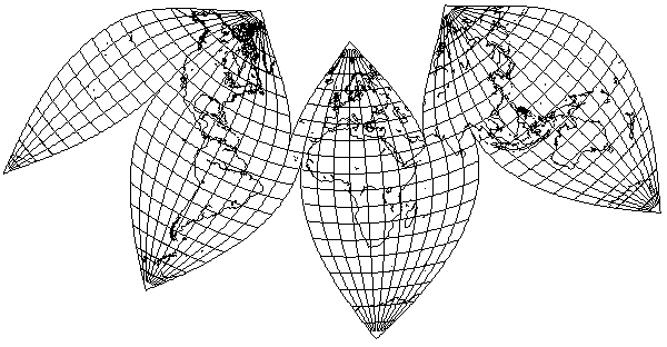
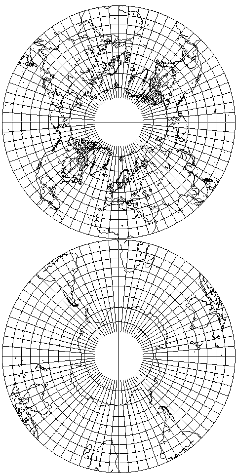
I've quickly made six plots in Excel showing correlations (or a lack thereof) between different distortion metrics for 72 projections, all with twofold symmetry and all interrupted along one meridian. I see I can only attach three files at a time. I'll describe all six plots together in this post and then attach the remaining three in another post. I'll use Goldberg and Gott's nomenclature, where I is isotropy (i.e. angular) distortion, A is areal distortion, F is flexion, S is skewness and D is distance error.

You can see that F is weakly positively correlated with I and weakly negatively correlated with A, whereas S has a minimum for intermediate values of both I and A.

Like S, D also has a minimum for intermediate values of I, but with the data points more scattered. For the plot of D vs. A, the scatter is so great that it's not really clear whether D also has a minimum for intermediate values of A or whether there's a weak positive correlation -- both the highest and lowest values of D occur for equal-area projections.
I read his objection as more in the final line you left out: “No analysis of how that previous scholar had constructed his metric, how it succeeded, and how it failed (because why else do they present their own?)” Edney is arguing for parsimony here, which is part of responsible research: Why is this even happening?
Fair enough. I hereby retract my criticism of Matthew Edney's objection number 4.
Attachments
1 F vs I.png
1 F vs I.png (48.22 KiB) Viewed 2373 times
2 F vs A.png
2 F vs A.png (49.29 KiB) Viewed 2373 times
3 S vs I.png
3 S vs I.png (51.05 KiB) Viewed 2373 times
PeteD
Posts: 251
Joined: Mon Mar 08, 2021 9:59 am

Re: Goldberg, Gott, Vanderbei and Edney

Post by PeteD »

Here are the remaining plots.
Attachments
4 S vs A.png
4 S vs A.png (51.37 KiB) Viewed 2373 times
5 D vs I.png
5 D vs I.png (51.77 KiB) Viewed 2373 times
6 D vs A.png
6 D vs A.png (49.21 KiB) Viewed 2373 times
quadibloc
Posts: 292
Joined: Sun Aug 18, 2019 12:28 am

Re: Goldberg, Gott, Vanderbei and Edney

Post by quadibloc »

I forgot where it was that I had heard of this new map projectiion that isn't a new map projection before this thread, but heard of it I did, and then ignored it.
It could have been here: https://www.scientificamerican.com/arti ... earth-yet/
or here: https://www.sciencealert.com/could-this ... t-s-see-it
but even more likely, it could have been here: https://www.livescience.com/pancake-earth-flat-map.html
...which shows that this revolutionary new projection that will improve our view of the Earth has been more widely publicized than by just the original paper. And which also goes to show that "Journalism by press release" has the harmful effect of presenting garbage to the public at face value, but that is hardly new.
Since the map does not have a boundary cut, but a "boundary fold", this means that the two hemispheres are not side by side on a piece of paper, but are on the front and back of a disk.
In that case, it is not a map, but an artifact, and, of course, there are better such representations of the globe. For example, Miller's icosahedron, and Fuller's cuboctahedron and icosahedron. Or the Butterfly projection, based on the octahedron, by B. J. S. Cahill. And, of course, the globe.
Also, I can present my own humble contribution:
Image
which, being on a transverse Lambert's conic conformal, is conformal, but which, with a reasonably minimal number of boundary cuts, achieves a reasonably low amount of distortion of area and overall shape for almost all of the world.
While it's clearly not the "best" map of the world by all metrics;
North is not at the top everywhere;
It makes inefficient use of the space on the page;
It is not strictly equal-area, which is considered more important these days than conformality;
still, I think I may fairly say that Goldberg, Gott, and Vanderbei could look upon it and be abashed.
And, if it is equal-area that is desired, there's always this:
Image
a Bonne's projection, interrupted so as to favor the most "important" areas of the world.
quadibloc
Posts: 292
Joined: Sun Aug 18, 2019 12:28 am

Re: Goldberg, Gott, Vanderbei and Edney

Post by quadibloc »

A more devastating criticism of the Goldberg-Gott-Vanderbei projection has dawned on me.
It is supposed to be the most accurate projection yet devised, despite azimuthal equidistant projections of the North and South hemispheres in two circles being in existence for ages... because you've eliminated the cut at the boundary by pasting the two hemispheres on each other, as the front and back of a disk.
Now then: look at a flat disk. A coin from your pocket will do as an approximation. Turn it about every which way. From some angles, you will see the "heads" side of the coin, and from other sides you will see the "tails" side of the coin.
Is there any angle from which you can see both the "heads" side and the "tails" side of the coin at the same time?
No?
If not, then how does pasting the two hemispheres on each other, back to back, improve on a flat map with them separate?

But it's even worse than this. Not only did Goldberg, Gott and Vanderbei fail to achieve their stated goal, but, in fact, years before, someone succeded where they had failed!
If you pull your trusty copy of The Round Earth on Flat Paper down from its shelf (mine is packed, due to a move, or I'd give a better reference... but Snippet View on Google Books suggests page 71) you will find an illustration of a National Geographic map in two hemispheres... where the hemispheres have been pivoted in the center so that any point on the boundary between the hemispheres can be chosen as the point where they touch!
So having the two hemispheres conjoint everywhere becomes a useful reality, instead of an irrelevant mathematical abstraction!

A web search turned up another attempt at a map of this kind:
https://www.maproomblog.com/2016/11/gre ... cardboard/

Thus, at this point, the hypothesis of the original paper being a deliberate attempt at an elaborate joke by its authors must now be entertained.

And, to complete the examination of the available literature, one should not forget the contribution of Commander A. B. Clements of the U.S. Shipping Board noted in at least one of the editions of Deetz and Adams' famous classic, Elements of Map Projection, in which instead of the North and South poles being simultaneously true, 30 degrees N and S are made simultaneously true by the same device of two pivoted circular maps, this time on the Lambert Conformal Conic:
Image
Milo
Posts: 271
Joined: Fri Jan 22, 2021 11:11 am

Re: Goldberg, Gott, Vanderbei and Edney

Post by Milo »

quadibloc wrote: Thu Apr 29, 2021 1:42 amIs there any angle from which you can see both the "heads" side and the "tails" side of the coin at the same time?
I guess you could if you're cross-eyed the right way.
quadibloc wrote: Thu Apr 29, 2021 1:42 amIf you pull your trusty copy of The Round Earth on Flat Paper down from its shelf (mine is packed, due to a move, or I'd give a better reference... but Snippet View on Google Books suggests page 71) you will find an illustration of a National Geographic map in two hemispheres... where the hemispheres have been pivoted in the center so that any point on the boundary between the hemispheres can be chosen as the point where they touch!
Huh... so it's like two discs where you can "roll" one disc around the other in such a way that the point of contact remains correct?

I've certainly visualized maps like that in my head before, though I've never really thought about how you'd go about making a physical realization. Seems like putting gears on the discs would do the trick.
quadibloc wrote: Thu Apr 29, 2021 1:42 amA web search turned up another attempt at a map of this kind:
https://www.maproomblog.com/2016/11/gre ... cardboard/
That site describes its subject as having "the purpose of showing the shortest distance by air or sea between two points", which is only true for the two specific points chosen as the centers of the hemispheres. It doesn't show the greatest-circle route between any two points, because it's not a gnomonic projection. (A two-hemisphere gnomonic projection would still take infinite space. The fewest number of gnomonic projections that can together map the sphere in finite space is four, which can be implemented as a tetrahedron. The gnomonic property of preserving straight lines will, sadly, not be preserved for routes that cross an edge of the tetrahedron.)

Merely projecting great circle routes between two predetermined (and even antipodal, in this case) points as straight lines is much easier and doesn't require a fancy rotation system. The cylindrical equidistant projection will do a better job.
quadibloc
Posts: 292
Joined: Sun Aug 18, 2019 12:28 am

Re: Goldberg, Gott, Vanderbei and Edney

Post by quadibloc »

It certainly is true that the contrivance shown can't show exact great circle paths. But I think it was simply intended for educational purposes - to let people see that, for example, a great circle between New York and London goes far north or either city. It approximates the great circle route between those two cities, for example, well enough to make that point.
Atarimaster
Posts: 446
Joined: Fri Nov 07, 2014 2:43 am

Re: Goldberg, Gott, Vanderbei and Edney

Post by Atarimaster »

By the way…
About four years ago, I ordered double-sided drip mats at a printing service, showing the eastern and western hemispheres on the two sides (but using the Airy's minimum-error azimuthal projection).

I really had no idea that this was a "revolution of cartography" (title of a German-language article about the Goldberg, Gott and Vanderbei map).
Damn.

;)
Attachments
drip_mats.jpg
drip_mats.jpg (94.35 KiB) Viewed 2248 times
quadibloc
Posts: 292
Joined: Sun Aug 18, 2019 12:28 am

Re: Goldberg, Gott, Vanderbei and Edney

Post by quadibloc »

Atarimaster wrote: Fri May 07, 2021 3:59 amI really had no idea that this was a "revolution of cartography"
But it wasn't! That big black border around the edge of each hemisphere prevented you from achieving the much lower error that would otherwise have been achieved!
Atarimaster
Posts: 446
Joined: Fri Nov 07, 2014 2:43 am

Re: Goldberg, Gott, Vanderbei and Edney

Post by Atarimaster »

quadibloc wrote: Sun May 09, 2021 10:15 pm But it wasn't! That big black border around the edge of each hemisphere prevented you from achieving the much lower error that would otherwise have been achieved!
You’re right! Moreover, the thickness of the drip mats (slightly more than 1mm) will also break the low error property.

Which, by the way, makes it nigh impossible to get a ready-made Double-Sided Gott Azimuthal map, because as far as I know, even in professional print you have to take some tolerances into account, which means that you either have to add a border (as I did) or you risk that little pieces of the map will be truncated in the cutting process, screwing up the low error property as well.
So the only way to meet the specifications of G., G. and V. really seems to be to print the two hemispheres on a single sheet of paper (like the example provided by the authors), fold it, and then cut it out veeeeeery carefully…
dummy_index
Posts: 28
Joined: Sat Dec 21, 2019 12:38 pm

Re: Goldberg, Gott, Vanderbei and Edney

Post by dummy_index »

About the "boundary fold"...

I also want to see both the "heads" side and the "tails" side at the same time.
So I assume a double-side printed circular envelope, like a record sleeve.
Then open the mouth of the envelope and try to flatten particular cross-border region... I can't.
Make close to 180° of dihedral angle of both side (I bend these like a cone, respectively), cause approach to 0° of aperture of cones with same slant height (= radius of hemisphere map). Make great circle route straight, get the map rolled thinly.
So... I think we can off-focus from the great circle route.
Post Reply